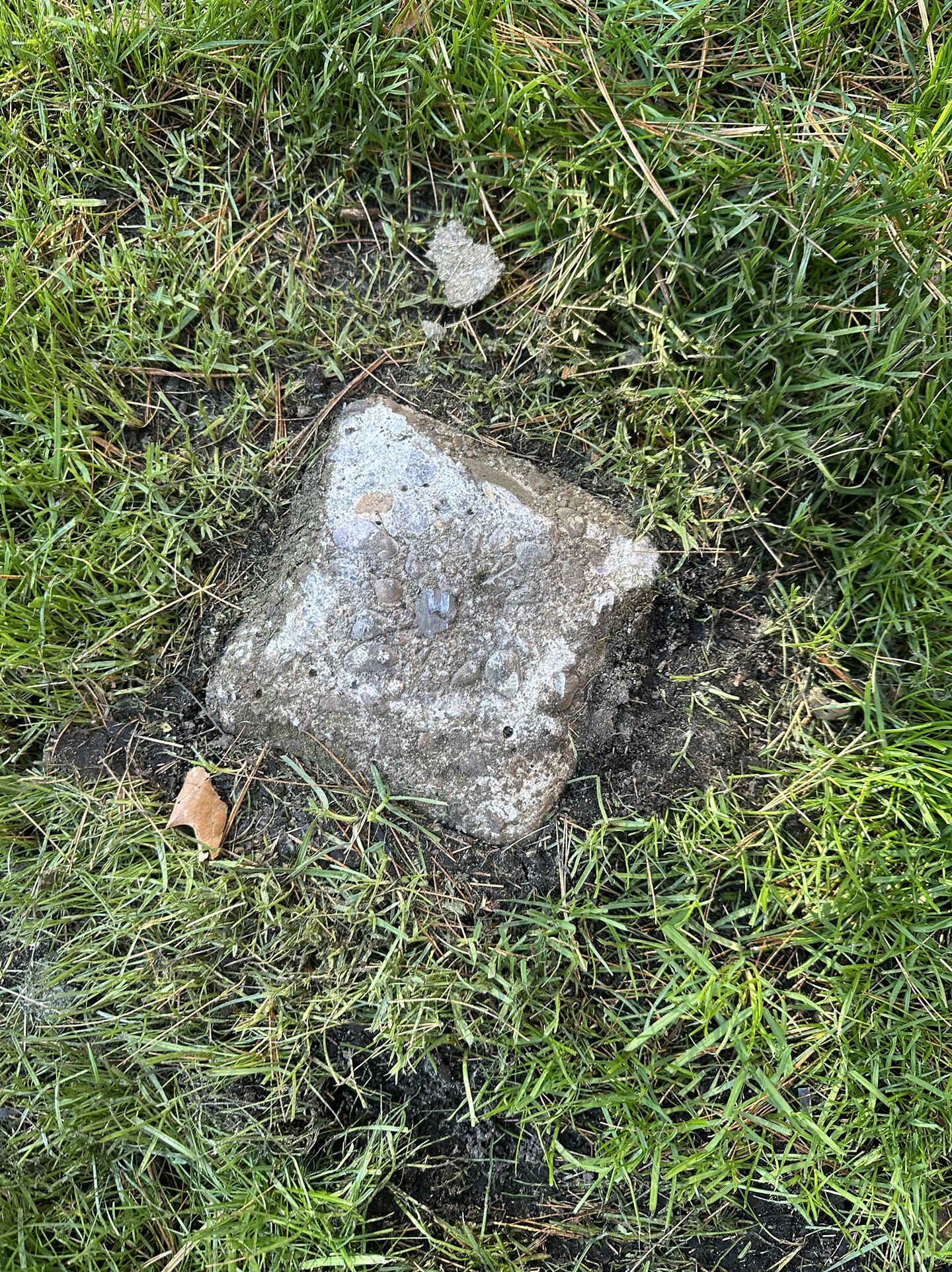
It looks ordinary at first glance — a small, weathered stone half-buried in the grass, unnoticed by most people who pass it by. Yet, if you look closely, you might spot faint markings carved long ago. To an untrained eye, it’s just another piece of the landscape. But to surveyors, landowners, and historians, it’s something far more important.
That unassuming stone could be a boundary marker — a silent witness to decades or even centuries of property history. These markers are carefully placed to define the exact edges of land parcels. They serve as official references for maps, deeds, and ownership records. In many cases, they were installed during the original land surveys that shaped modern towns and farms.
When someone says “Boundary marker — don’t remove it,” it isn’t just a casual warning. Removing or tampering with one can cause serious legal disputes, confusion over property lines, and even fines under land law. Each marker holds precise measurements tied to national surveying systems, meaning its position can determine who owns what — down to the inch.
To disturb one is to erase a small but vital part of the story of the land.
So, the next time you see a lone stone, post, or metal pin sitting oddly along a fence or path, remember: it may not be random at all. It may be a quiet guardian of boundaries, patiently standing where someone long ago said, “This is the line.”
